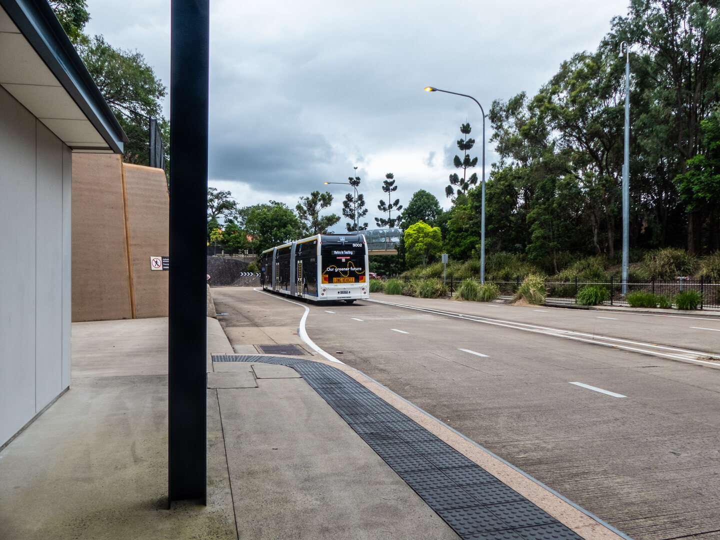
A line drawn towards Capalaba can make a transport project look settled. A resident trying to work out whether to walk to a different stop, change buses or leave the car at home needs considerably more detail.
Brisbane City Council is studying an Eastern Metro corridor between the CBD and Capalaba as part of its wider expansion business case. Council’s published timetable puts community consultation in October–December 2026 and business-case completion in late 2027. Alignment, infrastructure, depot locations and the order of delivery are among the matters the study is intended to resolve. Construction remains conditional on funding, approvals and the business case. Council’s project page
That leaves five questions worth asking before any attractive map becomes a promise.
1. Which journey will become easier?
“Better public transport” is too broad to measure. A useful proposal should explain what changes for a particular journey: Carina to a city workplace, for example, or an evening trip between suburbs.
Compare the whole trip rather than the fastest section. Walking to a stop, waiting, changing services and reaching the final destination all count. A quicker trunk service can still leave someone worse off if the connection is awkward. That is a test residents can apply to any future service plan, not a prediction of what this project will do.
2. What happens to the connecting buses?
A corridor map cannot show whether a neighbourhood keeps a direct bus or gains a convenient interchange. Ask for the service pattern as well as the infrastructure: which routes connect, how frequently, and at what times of day?
The distinction matters for shift workers, school trips and anyone travelling outside the morning peak. A proposal assessed only through a conventional city commute would leave important questions unanswered.
3. Where does the bus get priority?
A bigger vehicle does not, by itself, explain how a journey becomes more reliable. When detailed options emerge, look for an account of bottlenecks, intersection delays and the treatment of shared road space.
The questions should be concrete: which delay is being addressed, what is the proposed intervention, and what trade-offs does it create for other road users? Residents need enough detail to judge those trade-offs rather than assume them away.
4. What money has actually been committed?
Infrastructure Australia identifies the expansion as an early-stage proposal and records a $50 million Australian Government commitment towards developing the final business case. Its listing supports planning work; it should not be read as a funded construction contract for the eastern corridor. Nor is its two-to-four-year investment pipeline an announced opening date. Infrastructure Australia’s assessment
When a new announcement arrives, look for three separate things: the amount, the work it pays for and the decision still required afterwards.
5. How can residents make this consultation useful?
Keep a short journey diary before completing the official consultation: origin, destination, usual travel time, missed connection and the consequence. A specific account of an evening connection that does not work gives planners something clearer to examine than a general expression of support or opposition.
Then state the outcome you want: a shorter walk, a dependable connection, a later service or fewer changes. Ask how the published option will be tested against it.
Bayside Matters supports scrutiny of the eastern corridor through its Metro East campaign. Our campaign survey is separate from Council’s consultation and does not lodge an official response for you. Use the Council project page to access the official consultation and check its current closing arrangements.
*Planning status checked against the sources above on 29 October 2026. This article does not announce an approved route, station list or opening date.*